36 Hours in Kasukabe: An Underground River and a Town Above It
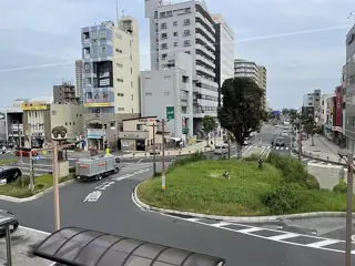
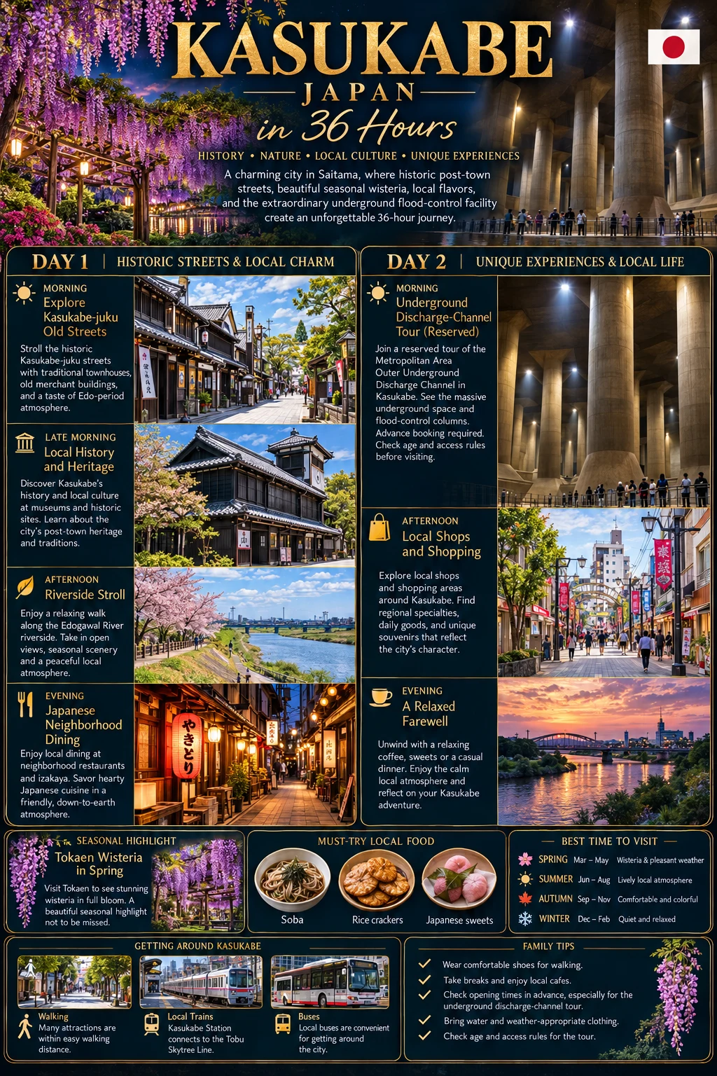
Kasukabe rewards a particular kind of curiosity. Its most extraordinary space is infrastructure: a vast underground chamber designed to help manage floodwater. Above ground, an old post-town route, everyday riverside paths and the playful presence of Crayon Shin-chan make a slower counterpoint. This is a good short stay for engineering enthusiasts and visitors who enjoy ordinary Japanese neighbourhoods. It is not a compact sightseeing district, and its best-known flower garden opens only briefly in spring.
Important current closure: Kasukabe’s Local History Museum closed on 1 October 2026 for building renovation, with reopening planned after work through March 2028. Do not use its usual opening hours or older sightseeing maps to plan an interior visit. City museum notice
Plan around the underground booking
Reserve the Metropolitan Outer Area Underground Discharge Channel first, then arrange the rest of the visit around that time. The suggested route assumes a late-morning tour on Day 1 and a night near Kasukabe Station. For arrivals from Tokyo, use Tobu’s journey information and allow roughly an hour or more from the Asakusa area, depending on the service and connection. Limited-express and ordinary trains have different ticket requirements. Kasukabe Station
Individual underground reservations normally open one month ahead; same-day bookings are not accepted. Tours can change or be cancelled for flood-control operations and inspections. At the research date, 19–20 October 2026 were announced inspection days. Check your date rather than relying on a general “daily” description. Tour operator and notices, booking FAQ
Day 1: Below the surface, then beside the river
9–10:30 a.m. | Reach the flood-control site
Eat breakfast before leaving. Travel on the Tobu Urban Park Line to Minami-Sakurai, then allow 30–40 minutes to walk the approximately 2.3 kilometres to the facility, longer in heat. A prearranged taxi is easier, but cars do not reliably wait outside the station. The community bus has limited departures and does not run Sundays. Alternatively, arrange a taxi directly from Kasukabe Station and allow approximately 25–35 minutes with traffic margin. Official access map
Aim to arrive well before the required check-in, use the toilet and put away anything you cannot carry safely. Bring a light layer and secure, practical shoes; beach sandals, backless shoes and narrow high heels are unsuitable under the operator’s rules.
Around 11 a.m.–noon | The “underground temple”
Choose the standard approximately 55-minute Underground Temple course for a first visit. Its great columns support a pressure-regulating tank, not a religious building. The scale is memorable, but understanding how floodwater is handled makes the visit more than a photograph.
All underground courses involve approximately 100 stairs and require independent walking; there is no lift. Children who have not entered elementary school cannot participate, even with an adult. Junior-high-age children and younger require an accompanying adult, with a maximum of five children per adult on the standard course. Longer specialist courses impose additional requirements. Spoken guidance is Japanese. Although the course description recommends a suitable companion, the booking conditions require someone able to understand Japanese safety instructions: confirm your group meets that requirement before booking. Check in at least ten minutes before the booked start. Current course conditions, booking conditions
For families with preschoolers, or anyone unable to manage the stairs, replace this whole excursion with the park option below. Do not assume that carrying a child or using a stroller is an exception.
12:30–2 p.m. | Lunch back in town
Return toward Kasukabe for lunch rather than expecting a restaurant inside the flood-control visitor centre. Ask for Kasukabe yakisoba: the local version combines fried noodles, a thickened sauce and a shiso topping. Fuji udon gets its purple colour from purple sweet potato, not wisteria flowers. Both are worth seeking from a currently operating shop, but neither is available everywhere. Tourism association food guide
2–4:30 p.m. | Post-town clues and the riverside
Start at Puratto Kasukabe near the station’s east side for a current walking map. It also has Shin-chan displays and local goods, giving fans a useful introduction without a long cross-city hunt. Its usual schedule is 9 a.m.–4:30 p.m., closed Mondays or the next weekday after a Monday holiday, and around New Year. Download the map ahead for a closed day. City’s March 2026 visitor information, official Shin-chan walking map
Follow a short section of the former Nikko road, looking for historical signs rather than expecting an intact Edo-period townscape. Continue to Furutone Park Bridge, where sculpture and seating turn a crossing into a neighbourhood meeting place. Allow 60–90 minutes including pauses, then return for a café and hotel break. Older maps include the now-closed museum; skip that stop. City post-town walk
6–8 p.m. | Dinner near the station
Keep dinner local and uncomplicated: a small restaurant serving rice dishes, noodles or grilled food is more useful than another train journey. Ask about portion sizes and ingredients, particularly the stock and sauce in apparently vegetable-based dishes. Pick up a packet of rice crackers for tomorrow; a local producer makes hand-baked senbei and products using Kasukabe rice. Local senbei maker
Day 2: Choose the season, not a checklist
9:30 a.m.–noon | Uchiumaki Park, or spring wisteria
Outside flowering season, make Uchiumaki Park the morning’s main outing. Allow 25–40 minutes from central Kasukabe by taxi or a suitably timed bus plus walk. The city’s bus approach uses the service toward Kasukabe Eminasu, alighting at Kyoei University entrance and walking about ten minutes. Check the actual departure before leaving.
The park has picnic areas, open space and adventure play equipment. Choose apparatus appropriate to each child and avoid slippery climbing structures after rain. The published seasonal hours begin at 9 a.m. April–September and 9:30 a.m. October–March, with a 4 p.m. close in December–January. City park information
In the brief spring opening season, replace the park with Tokaen’s Ushijima Wisteria, reached via Fujino-Ushijima Station and a walk. Its published 2026 season was 11 April–3 May; those dates do not establish a future year’s calendar. Check the garden’s announcement and flowering reports before booking a flower-focused visit. Allow 60–90 minutes, expect crowds at peak bloom, and do not touch the flowers. Garden’s own seasonal information
Noon–3:30 p.m. | Lunch and one last short walk
Return for lunch, then choose a small section of the Furutone riverside or browse local food souvenirs before collecting luggage. If Shin-chan is the main reason for visiting, use the official map to select one or two nearby stops instead. Leave enough time for railway connections and changing station circulation during construction.
Three quieter worthwhile pauses
- Furutone Park Bridge: sit and watch the river rather than treating it solely as a crossing.
- Higashi Hachiman Shrine: a short detour on the city’s riverside walking route; respect worshippers and view buildings from permitted areas.
- Uchiumaki Park’s picnic spaces: away from the busiest play equipment, these offer a slower family break. Bring lunch if preferred and take rubbish away.
The city’s riverside walking guide helps connect the first two without attempting its entire six-kilometre route.
Research checked: 16 October 2026. Museum closure and tour notices are current dated announcements; park hours and other listings should be reconfirmed. Transport ranges are planning estimates. Wisteria is a seasonal alternative, not a year-round attraction.
Sources & travel planning
Research checked 2026-10-16. This date describes the guide’s research, not a guarantee of current conditions. Opening hours, prices, access, transport and travel advice can change. Recheck the official sources before booking and departure. Walking and journey times are planning estimates.
- city.kasukabe.lg.jp ↗
- tobu.co.jp ↗
- gaikaku.jp ↗
- gaikaku.jp ↗
- ktr.mlit.go.jp ↗
- gaikaku.jp ↗
- gaikaku.jp ↗
- visit-kasukabe.jp ↗
- city.kasukabe.lg.jp ↗
- city.kasukabe.lg.jp ↗
- city.kasukabe.lg.jp ↗
- kasukabesenbei.com ↗
- city.kasukabe.lg.jp ↗
- ushijimanofuji.co.jp ↗
- city.kasukabe.lg.jp ↗
Found a change? Contact Only36Hours about a correction.