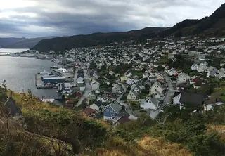
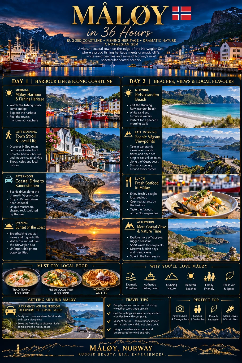
36 Hours in Måløy: Harbour Life and the Weather-Shaped Coast
Source-checked: 16 October 2026. Suggested schedule: 09:00 on Day 1 to 21:00 on Day 2, including one overnight. Driving times are conservative planning allowances, not live route estimates.
Måløy is a working coastal town, and its surrounding landscape is shaped by the sea rather than by an easy sightseeing circuit. The right plan is weather-led: spend time in town, choose two short outings and leave room to change them. This visit combines the story of the wartime raid with the sculpted rock at Kannesteinen and the broad sand of Refviksanden. It deliberately avoids adding a demanding mountain hike.
Sort transport before booking
Stay near the harbour for a straightforward town base. The coastal stops are outside central Måløy, so this itinerary assumes a car or a prearranged driver for the excursions. If you are travelling without one, check Skyss's journey-planning information for the actual date and confirm the return journey before setting out. Do not assume a rural bus timetable will suit a flexible beach visit, especially on weekends.
Arrange child seats in advance and carry waterproofs, warm layers, water and snacks. A sunny departure does not guarantee comfortable conditions on an exposed shore. In winter, move all coastal visits into the available daylight and shorten the plan as needed. If boat travel is part of your arrival or departure, allow disruption margin rather than placing an unmissable activity immediately after landing.
Day 1: The town and the western shore
09:00–11:30 | Harbour breakfast and local history
Start with breakfast in town and a short walk around the central harbour streets. Stay on public pavements and viewing areas: fishing infrastructure, loading zones and vessel access are workplaces. Watch for vehicles and keep children away from unfenced water edges. The interest lies in ordinary activity as much as in a particular monument.
Visit Måløyraidsenteret if its date-specific opening is confirmed. The exhibition addresses the raid of December 1941 through images, film and objects. Allow an hour to ninety minutes. War material and sound effects may be intense for younger or sensitive children, so ask staff about the experience beforehand and be ready to shorten the visit.
The official tourism listing mentions visits outside announced hours by arrangement; that is not a promise of walk-in access. Contact the centre before travel if its calendar does not match your stay. If closed, keep the morning as a harbour walk and longer café stop.
11:30–14:00 | Lunch and a weather check
Have lunch in town before the excursion. Fish soup, a fish sandwich or another cooked seafood dish suits the setting when available; ask about shellfish, dairy and bones if necessary. A bakery snack is useful insurance, but do not rely on finding a café at every coastal stop.
Check local weather and road conditions, then decide whether the afternoon coast visit remains sensible. Strong winds, heavy rain or rough seas are reasons to postpone it. Take a hotel break if children need one; the route is intentionally short enough to accommodate that pause.
14:00–17:30 | Vågsberget and Kannesteinen
Drive towards Oppedal, allowing around twenty to thirty minutes from town including careful travel on local roads. Kannesteinen is about ten kilometres from central Måløy. The official tourism description places Vågsberget along the approach, making the two a logical pairing rather than opposite ends of the district.
Stop at Vågsberget's former trading and guesthouse site if seasonal access permits. Interior visits need their own confirmed opening arrangements. If unavailable, use only clearly public areas and continue without treating closed buildings as an invitation to explore.
At Kannesteinen, enjoy the rock from the designated approach and safe viewing space. The tourism authority explicitly advises against climbing it: the rock is about three metres high, and falls can cause serious injury. Do not copy photographs of people standing on top. Stay back from waves and slippery shore rocks, and never descend closer to the water simply to improve a photograph.
18:00–21:00 | Return to town
Allow another twenty to thirty minutes for the drive back, plus any weather delay. Eat dinner in Måløy and make a short harbour walk only if conditions are comfortable. Confirm tomorrow's forecast and your onward connection before settling in. An early evening is a sensible part of a coastal trip, not a missed opportunity.
Day 2: A beach with room to breathe
09:00–12:30 | Refviksanden in daylight
After breakfast, drive to Refviksanden, approximately ten kilometres from Måløy. Allow twenty to thirty minutes and use designated parking without obstructing residents. The beach stretches about one and a half kilometres, but a short walk can be enough.
Keep the visit on the sand in settled conditions. The open coast can have powerful surf, cold water and rapid weather changes, so swimming is not a required activity. Supervise children closely and keep well clear of storm waves; watching bad weather should happen from a genuinely sheltered, safe place, not the waterline. Toilets are listed with the campsite facilities, but confirm seasonal availability and carry essentials rather than relying on them.
12:30–16:30 | Lunch and a flexible afternoon
Return to town for lunch and a rest. If Day 1's museum visit was unavailable but today is open, use the afternoon for it. Otherwise, browse the centre, revisit a safe harbour viewpoint or simply sit with coffee. Do not add a lighthouse scramble or long hike because the afternoon appears empty on paper; those outings need their own access, weather and fitness assessment.
16:30–21:00 | Three quieter settings and departure
Vågsberget's accessible public surroundings, the designated Kannesteinen viewing area outside busy tour arrivals, and a short stretch of Refviksanden are three quieter alternatives to the working harbour. All depend on conditions, and none is a reason to ignore barriers or weather warnings.
Have an early final meal, collect your bags and leave a generous connection margin. If storms remove both coastal outings, a shorter town-focused visit is the responsible version of the plan. Måløy's landscape is memorable precisely because the sea remains in charge.
Sources & travel planning
Research checked 2026-10-16. This date describes the guide’s research, not a guarantee of current conditions. Opening hours, prices, access, transport and travel advice can change. Recheck the official sources before booking and departure. Walking and journey times are planning estimates.
Found a change? Contact Only36Hours about a correction.